
Alma topographic map
Interactive map
Click on the map to display elevation.
About this map
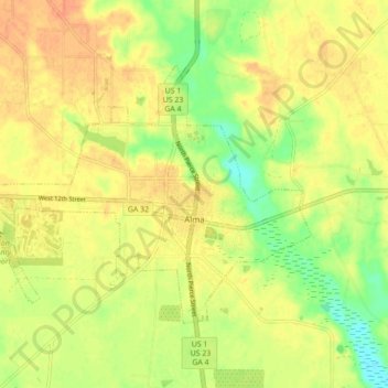
Name: Alma topographic map, elevation, terrain.
Location: Alma, Bacon County, Georgia, 31510, United States (31.51944 -82.52333 31.56904 -82.43600)
Average elevation: 184 ft
Minimum elevation: 108 ft
Maximum elevation: 233 ft
Bacon County trails, hiking, mountain biking, running and outdoor activities
Other topographic maps
Click on a map to view its topography, its elevation and its terrain.