
Harbert topographic map
Interactive map
Click on the map to display elevation.
About this map
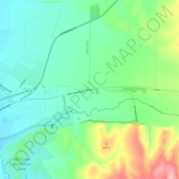
Name: Harbert topographic map, elevation, terrain.
Location: Harbert, Walla Walla County, Washington, United States (46.06792 -118.26218 46.10792 -118.22218)
Average elevation: 1,348 ft
Minimum elevation: 1,178 ft
Maximum elevation: 1,722 ft
Walla Walla County trails, hiking, mountain biking, running and outdoor activities
Other topographic maps
Click on a map to view its topography, its elevation and its terrain.
Whitman Mission National Historic Site
United States > Washington > Walla Walla County
Average elevation: 643 ft