Chinatown topographic map
Interactive map
Click on the map to display elevation.
About this map
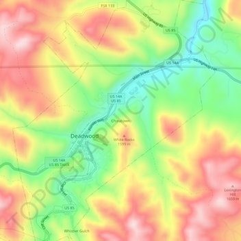
Name: Chinatown topographic map, elevation, terrain.
Average elevation: 4,931 ft
Minimum elevation: 4,357 ft
Maximum elevation: 5,482 ft

Click on the map to display elevation.
Name: Chinatown topographic map, elevation, terrain.
Average elevation: 4,931 ft
Minimum elevation: 4,357 ft
Maximum elevation: 5,482 ft