
Hartford topographic map
Interactive map
Click on the map to display elevation.
About this map
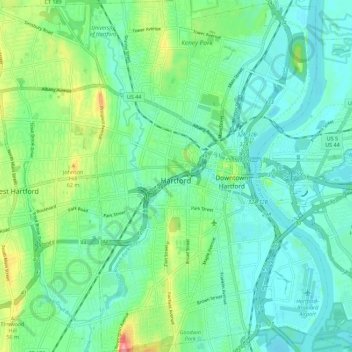
Name: Hartford topographic map, elevation, terrain.
Location: Hartford, Hartford County, Connecticut, United States (41.72367 -72.71804 41.80742 -72.64229)
Average elevation: 75 ft
Minimum elevation: 0 ft
Maximum elevation: 289 ft
Hartford County trails, hiking, mountain biking, running and outdoor activities