
Kamthi topographic map
Interactive map
Click on the map to display elevation.
About this map
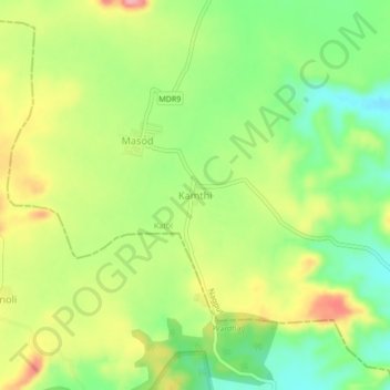
Name: Kamthi topographic map, elevation, terrain.
Location: Kamthi, Katol, Nagpur District, Maharashtra, India (21.05116 78.60745 21.09116 78.64745)
Average elevation: 1,647 ft
Minimum elevation: 1,473 ft
Maximum elevation: 1,860 ft
Other topographic maps
Click on a map to view its topography, its elevation and its terrain.