
Crow Wing topographic map
Interactive map
Click on the map to display elevation.
About this map
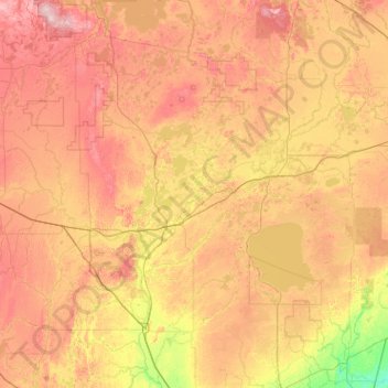
Name: Crow Wing topographic map, elevation, terrain.
Location: Crow Wing, Minnesota, United States of America (45.76652 -94.80170 47.16652 -93.40170)
Average elevation: 1,286 ft
Minimum elevation: 935 ft
Maximum elevation: 1,811 ft
Other topographic maps
Click on a map to view its topography, its elevation and its terrain.
Saint Croix State Park
United States of America > Minnesota > Saint Johns Landing Camp
Average elevation: 945 ft