
Clay City topographic map
Interactive map
Click on the map to display elevation.
About this map
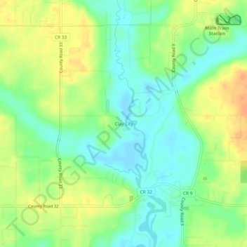
Name: Clay City topographic map, elevation, terrain.
Location: Clay City, Baldwin County, Alabama, United States of America (30.46575 -87.82666 30.50575 -87.78666)
Average elevation: 59 ft
Minimum elevation: 3 ft
Maximum elevation: 128 ft