
Walnut Grove topographic map
Interactive map
Click on the map to display elevation.
About this map
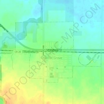
Name: Walnut Grove topographic map, elevation, terrain.
Location: Walnut Grove, Redwood County, Minnesota, United States (44.21662 -95.48278 44.23236 -95.45171)
Average elevation: 1,211 ft
Minimum elevation: 1,168 ft
Maximum elevation: 1,270 ft
Redwood County trails, hiking, mountain biking, running and outdoor activities