
Polis topographic map
Interactive map
Click on the map to display elevation.
About this map
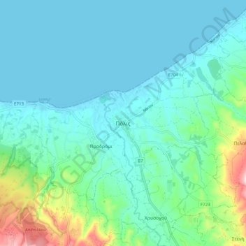
Name: Polis topographic map, elevation, terrain.
Location: Polis, Paphos, 8831, Cyprus (34.99497 32.38593 35.07497 32.46593)
Average elevation: 213 ft
Minimum elevation: 0 ft
Maximum elevation: 1,161 ft