
Athelstane topographic map
Interactive map
Click on the map to display elevation.
About this map
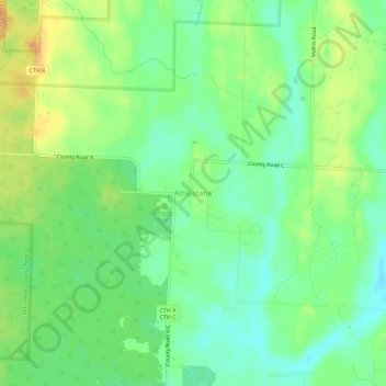
Name: Athelstane topographic map, elevation, terrain.
Average elevation: 938 ft
Minimum elevation: 889 ft
Maximum elevation: 1,001 ft
Marinette County trails, hiking, mountain biking, running and outdoor activities
Other topographic maps
Click on a map to view its topography, its elevation and its terrain.
Menominee River State Recreation Area- Quiver Falls Unit
United States > Wisconsin > Marinette County
Average elevation: 876 ft
Menominee River State Recreation Area- Pemene Falls Unit
United States > Wisconsin > Marinette County
Average elevation: 820 ft