
Land O' Lakes topographic map
Interactive map
Click on the map to display elevation.
About this map
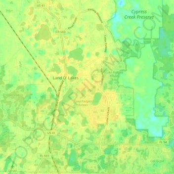
Name: Land O' Lakes topographic map, elevation, terrain.
Location: Land O' Lakes, Pasco County, Florida, United States (28.17102 -82.49402 28.25743 -82.40232)
Average elevation: 72 ft
Minimum elevation: 26 ft
Maximum elevation: 105 ft
Pasco County trails, hiking, mountain biking, running and outdoor activities
Other topographic maps
Click on a map to view its topography, its elevation and its terrain.