
Tipp City topographic map
Interactive map
Click on the map to display elevation.
About this map
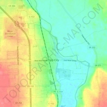
Name: Tipp City topographic map, elevation, terrain.
Location: Tipp City, Miami County, Ohio, United States (39.93767 -84.22922 39.99304 -84.14108)
Average elevation: 860 ft
Minimum elevation: 774 ft
Maximum elevation: 984 ft
Miami County trails, hiking, mountain biking, running and outdoor activities
Other topographic maps
Click on a map to view its topography, its elevation and its terrain.