
Cherwell topographic map
Interactive map
Click on the map to display elevation.
About this map
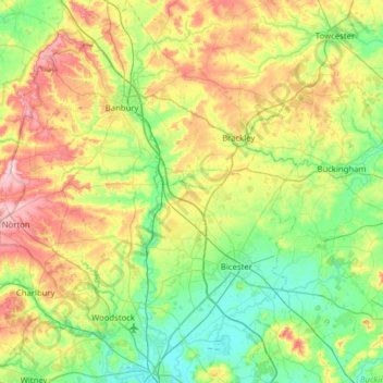
Name: Cherwell topographic map, elevation, terrain.
Location: Cherwell, Oxfordshire, South East, England, United Kingdom (51.78096 -1.52284 52.16847 -1.04714)
Average elevation: 381 ft
Minimum elevation: 184 ft
Maximum elevation: 787 ft