
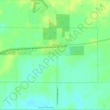
Tony topographic map
Interactive map
Click on the map to display elevation.
About this map
Name: Tony topographic map, elevation, terrain.
Location: Tony, Rusk County, Wisconsin, United States (45.47295 -91.01805 45.48772 -90.97632)
Average elevation: 1,211 ft
Minimum elevation: 1,181 ft
Maximum elevation: 1,243 ft
Rusk County trails, hiking, mountain biking, running and outdoor activities
Other topographic maps
Click on a map to view its topography, its elevation and its terrain.