
Mount Batur topographic map
Interactive map
Click on the map to display elevation.


About this map
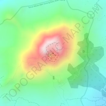
Name: Mount Batur topographic map, elevation, terrain.
Location: Mount Batur, Bangli, Bali, Lesser Sunda Islands, Indonesia (-8.23947 115.37791 -8.23937 115.37801)
Average elevation: 4,268 ft
Minimum elevation: 3,524 ft
Maximum elevation: 5,554 ft