
Hunter River topographic map
Interactive map
Click on the map to display elevation.
About this map
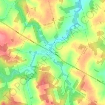
Name: Hunter River topographic map, elevation, terrain.
Location: Hunter River, Queens County, Prince Edward Island, Canada (46.33495 -63.36898 46.37495 -63.32898)
Average elevation: 171 ft
Minimum elevation: 26 ft
Maximum elevation: 308 ft