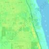
Vero Beach topographic map
Click on the map to display elevation.
Vero Beach
Vero Beach, located along Florida's Atlantic coast, features relatively flat and low-lying terrain. The area has an average elevation of around 25 feet above sea level, with the highest point reaching about 40 feet. This coastal region is predominantly characterized by sandy beaches and wetlands, interspersed with the Indian River Lagoon. The local landscape is shaped by gentle rises, such as the Florida Ridge, and an abundance of islands and marshes. The proximity to the ocean results in a relatively mild, low-altitude environment with a focus on water-based ecosystems.
About this map
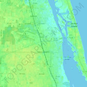
Name: Vero Beach topographic map, elevation, terrain.
Location: Vero Beach, Indian River County, Florida, United States (27.61697 -80.44642 27.67754 -80.34630)
Average elevation: 20 ft
Minimum elevation: -13 ft
Maximum elevation: 46 ft
Indian River County trails, hiking, mountain biking, running and outdoor activities
Other topographic maps
Click on a map to view its topography, its elevation and its terrain.