
Clarkston topographic map
Click on the map to display elevation.
Exploring new terrains?
Equip yourself with the best gear to stay comfortable and safe:
As an Amazon Associate, this site earns from qualifying purchases at no extra cost to you.
About this map
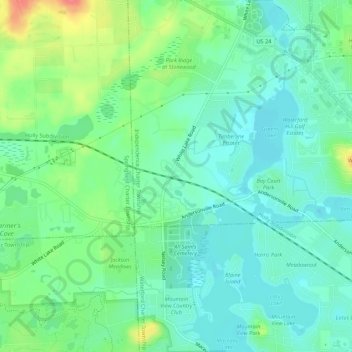
Name: Clarkston topographic map, elevation, terrain.
Location: Clarkston, Oakland County, Michigan, 48347, United States (42.68864 -83.45966 42.72864 -83.41966)
Average elevation: 1,010 ft
Minimum elevation: 948 ft
Maximum elevation: 1,158 ft
Michigan trails, hiking, mountain biking, running and outdoor activities