
Terre Haute topographic map
Interactive map
Click on the map to display elevation.
About this map
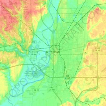
Name: Terre Haute topographic map, elevation, terrain.
Location: Terre Haute, Vigo County, Indiana, United States (39.40153 -87.46977 39.52870 -87.27692)
Average elevation: 522 ft
Minimum elevation: 436 ft
Maximum elevation: 646 ft
Vigo County trails, hiking, mountain biking, running and outdoor activities
Other topographic maps
Click on a map to view its topography, its elevation and its terrain.
Deming Park
United States > Indiana > Vigo County > Terre Haute > Deming Park
Average elevation: 535 ft