
Aler topographic map
Interactive map
Click on the map to display elevation.
About this map
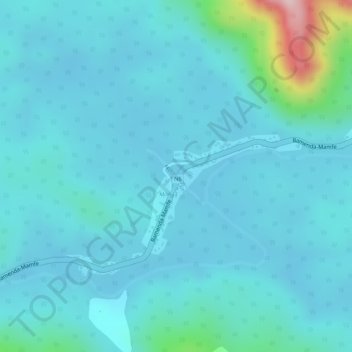
Name: Aler topographic map, elevation, terrain.
Location: Aler, Tinto, Manyu, Southwest, Cameroon (5.72643 9.68231 5.73055 9.68691)
Average elevation: 745 ft
Minimum elevation: 620 ft
Maximum elevation: 1,588 ft