Cameroon topographic maps
Click on a map to view its topography, its elevation and its terrain.



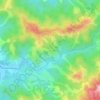
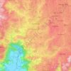
Dschang
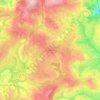
Due to its high elevation of over 1400 m, Dschang is favoured by relatively cool temperatures and attractive scenery. It is therefore regarded as a mountain tourist resort. Since colonial times, Dschang has been an important agricultural center. Pig production plays a major role.
Average elevation: 4,462 ft
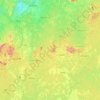
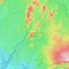
Korup National Park
Korup soils are generally coarse-grained, sandy, well drained and low in nutrients. Their acidic nature and low organic matter make them unfavourable sites for subsistence farming and cash-crop plantations, explaining the low levels of farming disturbance in the park, which remains mostly primary forest. The…
Average elevation: 902 ft