
Masterson topographic map
Interactive map
Click on the map to display elevation.
About this map
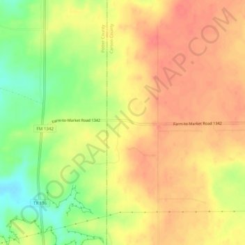
Name: Masterson topographic map, elevation, terrain.
Location: Masterson, Carson County, Texas, United States of America (35.39116 -101.63962 35.43116 -101.59962)
Average elevation: 3,540 ft
Minimum elevation: 3,422 ft
Maximum elevation: 3,609 ft