
Wimer topographic map
Interactive map
Click on the map to display elevation.
About this map
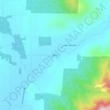
Name: Wimer topographic map, elevation, terrain.
Location: Wimer, Jackson County, Oregon, United States of America (42.51873 -123.16894 42.55873 -123.12894)
Average elevation: 1,368 ft
Minimum elevation: 1,096 ft
Maximum elevation: 3,045 ft