
Calmar topographic map
Interactive map
Click on the map to display elevation.
About this map
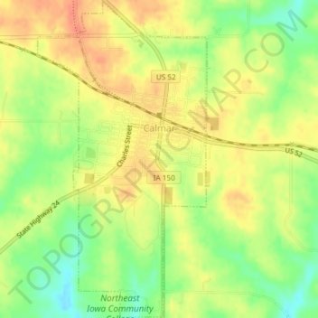
Name: Calmar topographic map, elevation, terrain.
Location: Calmar, Winneshiek County, Iowa, United States (43.16671 -91.87900 43.19353 -91.85927)
Average elevation: 1,234 ft
Minimum elevation: 1,142 ft
Maximum elevation: 1,299 ft
Winneshiek County trails, hiking, mountain biking, running and outdoor activities
Other topographic maps
Click on a map to view its topography, its elevation and its terrain.