
Branchville topographic map
Interactive map
Click on the map to display elevation.
About this map
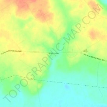
Name: Branchville topographic map, elevation, terrain.
Location: Branchville, Milam County, Texas, United States of America (30.86436 -96.78387 30.90436 -96.74387)
Average elevation: 338 ft
Minimum elevation: 269 ft
Maximum elevation: 407 ft