
Forsyth topographic map
Interactive map
Click on the map to display elevation.
About this map
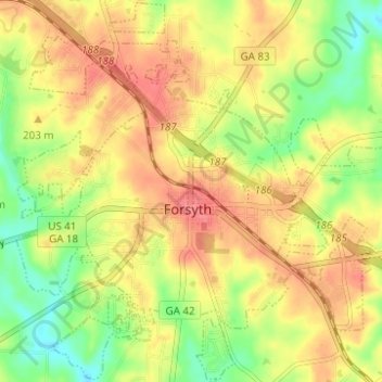
Name: Forsyth topographic map, elevation, terrain.
Location: Forsyth, Monroe County, Georgia, 31029, United States (33.01127 -83.96677 33.06253 -83.90485)
Average elevation: 636 ft
Minimum elevation: 512 ft
Maximum elevation: 735 ft
Monroe County trails, hiking, mountain biking, running and outdoor activities
Other topographic maps
Click on a map to view its topography, its elevation and its terrain.