
Baddegama topographic map
Interactive map
Click on the map to display elevation.
About this map
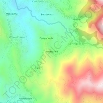
Name: Baddegama topographic map, elevation, terrain.
Location: Baddegama, Badulla District, Uva Province, Sri Lanka (6.90411 81.06507 6.94411 81.10507)
Average elevation: 3,602 ft
Minimum elevation: 2,382 ft
Maximum elevation: 5,577 ft