
Al Asimah topographic map
Interactive map
Click on the map to display elevation.
About this map
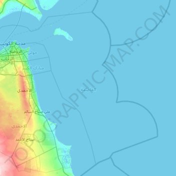
Name: Al Asimah topographic map, elevation, terrain.
Location: Al Asimah, Kuwait (28.62454 47.75616 29.57162 49.00468)
Average elevation: 39 ft
Minimum elevation: -10 ft
Maximum elevation: 610 ft
Other topographic maps
Click on a map to view its topography, its elevation and its terrain.