
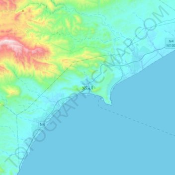
Mukalla topographic map
Interactive map
Click on the map to display elevation.
About this map
Name: Mukalla topographic map, elevation, terrain.
Location: Mukalla, Mukalla City District, Hadramaut Governorate, Yemen (14.38246 48.96313 14.70246 49.28313)
Average elevation: 535 ft
Minimum elevation: -7 ft
Maximum elevation: 4,813 ft
Other topographic maps
Click on a map to view its topography, its elevation and its terrain.