
Iron River topographic map
Interactive map
Click on the map to display elevation.
About this map
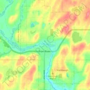
Name: Iron River topographic map, elevation, terrain.
Location: Iron River, Iron County, Michigan, United States (46.06897 -88.66383 46.12363 -88.61685)
Average elevation: 1,572 ft
Minimum elevation: 1,447 ft
Maximum elevation: 1,709 ft
Iron County trails, hiking, mountain biking, running and outdoor activities