
Clayton topographic map
Interactive map
Click on the map to display elevation.
About this map
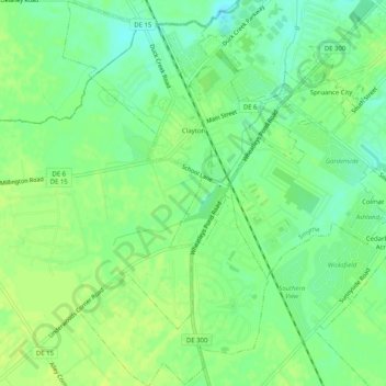
Name: Clayton topographic map, elevation, terrain.
Location: Clayton, Kent County, Delaware, United States (39.26467 -75.65153 39.30384 -75.62458)
Average elevation: 46 ft
Minimum elevation: 13 ft
Maximum elevation: 66 ft
Kent County trails, hiking, mountain biking, running and outdoor activities
Other topographic maps
Click on a map to view its topography, its elevation and its terrain.
Kent Acres
United States > Delaware > Kent County > Kent Acres > Woods Manor East
Average elevation: 26 ft