
Crozier topographic map
Interactive map
Click on the map to display elevation.
About this map
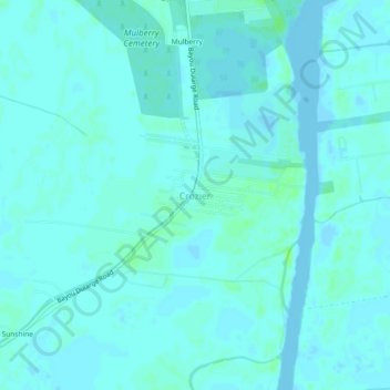
Name: Crozier topographic map, elevation, terrain.
Location: Crozier, Terrebonne Parish, Louisiana, 70363, United States (29.51884 -90.73858 29.55884 -90.69858)
Average elevation: 7 ft
Minimum elevation: -7 ft
Maximum elevation: 26 ft
Terrebonne Parish trails, hiking, mountain biking, running and outdoor activities
Other topographic maps
Click on a map to view its topography, its elevation and its terrain.