
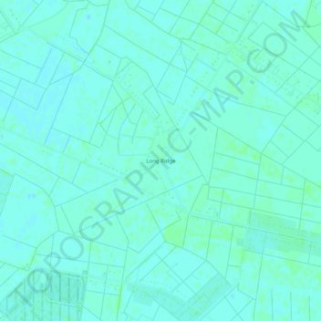
Long Ridge topographic map
Interactive map
Click on the map to display elevation.
About this map
Name: Long Ridge topographic map, elevation, terrain.
Location: Long Ridge, Chesapeake, Virginia, United States (36.61043 -76.18299 36.65043 -76.14299)
Average elevation: 13 ft
Minimum elevation: 3 ft
Maximum elevation: 23 ft
Virginia trails, hiking, mountain biking, running and outdoor activities
Other topographic maps
Click on a map to view its topography, its elevation and its terrain.