
Hardwick topographic map
Interactive map
Click on the map to display elevation.
About this map
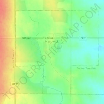
Name: Hardwick topographic map, elevation, terrain.
Location: Hardwick, Rock County, Minnesota, 56134, United States (43.76116 -96.21253 43.78296 -96.18238)
Average elevation: 1,608 ft
Minimum elevation: 1,529 ft
Maximum elevation: 1,703 ft
Rock County trails, hiking, mountain biking, running and outdoor activities