
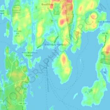
Boothbay Harbor topographic map
Interactive map
Click on the map to display elevation.
About this map
Name: Boothbay Harbor topographic map, elevation, terrain.
Location: Boothbay Harbor, Lincoln County, Maine, United States (43.81733 -69.69293 43.87310 -69.59971)
Average elevation: 43 ft
Minimum elevation: -10 ft
Maximum elevation: 226 ft
Lincoln County trails, hiking, mountain biking, running and outdoor activities
Other topographic maps
Click on a map to view its topography, its elevation and its terrain.