
Leighton topographic map
Interactive map
Click on the map to display elevation.
About this map
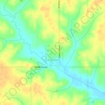
Name: Leighton topographic map, elevation, terrain.
Location: Leighton, Mahaska County, Iowa, United States (41.33546 -92.78948 41.34267 -92.78259)
Average elevation: 810 ft
Minimum elevation: 755 ft
Maximum elevation: 860 ft
Mahaska County trails, hiking, mountain biking, running and outdoor activities
Other topographic maps
Click on a map to view its topography, its elevation and its terrain.