
Waquoit Bay topographic map
Interactive map
Click on the map to display elevation.
About this map
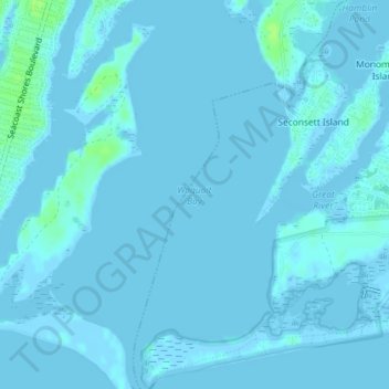
Name: Waquoit Bay topographic map, elevation, terrain.
Average elevation: 3 ft
Minimum elevation: -7 ft
Maximum elevation: 33 ft
Barnstable County trails, hiking, mountain biking, running and outdoor activities
Other topographic maps
Click on a map to view its topography, its elevation and its terrain.
Santuit Pond
United States > Massachusetts > Barnstable County > Mashpee > Mashpee Neck > Pine Tree Corner
Average elevation: 49 ft