Geolocate

Bancroft topographic map

Interactive map

Click on the map to display elevation.

About this map

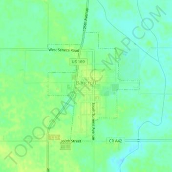
Name: Bancroft topographic map, elevation, terrain.

Location: Bancroft, Kossuth County, Iowa, United States (43.28389 -94.22649 43.30103 -94.20671)

Average elevation: 1,161 ft

Minimum elevation: 1,135 ft

Maximum elevation: 1,184 ft

Other topographic maps

Click on a map to view its topography, its elevation and its terrain.

Lu Verne

United States > Iowa > Kossuth County

Lu Verne, Kossuth County, Iowa, United States

Average elevation: 1,152 ft

Algona

United States > Iowa > Kossuth County

Algona, Kossuth County, Iowa, 50511, United States

Average elevation: 1,184 ft

West Bend

United States > Iowa > Kossuth County > West Bend

West Bend, Kossuth County, Iowa, United States

Average elevation: 1,181 ft