
Latham topographic map
Interactive map
Click on the map to display elevation.
About this map
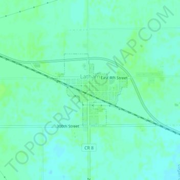
Name: Latham topographic map, elevation, terrain.
Location: Latham, Logan County, Illinois, 62543, United States (39.96121 -89.17001 39.97206 -89.15506)
Average elevation: 610 ft
Minimum elevation: 597 ft
Maximum elevation: 623 ft
Logan County trails, hiking, mountain biking, running and outdoor activities
Other topographic maps
Click on a map to view its topography, its elevation and its terrain.