
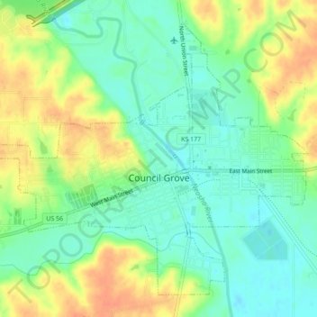
Council Grove topographic map
Interactive map
Click on the map to display elevation.
About this map
Name: Council Grove topographic map, elevation, terrain.
Location: Council Grove, Morris County, Kansas, United States (38.64841 -96.51493 38.67740 -96.47160)
Average elevation: 1,276 ft
Minimum elevation: 1,217 ft
Maximum elevation: 1,352 ft
Morris County trails, hiking, mountain biking, running and outdoor activities