
Goose Lake topographic map
Interactive map
Click on the map to display elevation.
About this map
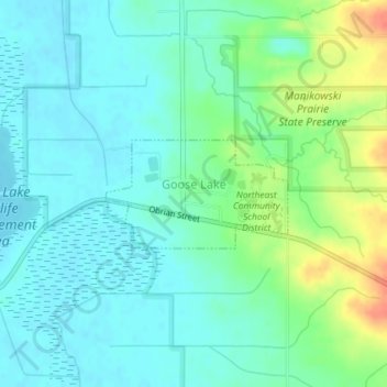
Name: Goose Lake topographic map, elevation, terrain.
Location: Goose Lake, Clinton County, Iowa, United States (41.96386 -90.39057 41.97142 -90.37349)
Average elevation: 696 ft
Minimum elevation: 650 ft
Maximum elevation: 817 ft
Clinton County trails, hiking, mountain biking, running and outdoor activities