
Durant topographic map
Interactive map
Click on the map to display elevation.
About this map
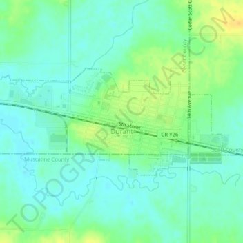
Name: Durant topographic map, elevation, terrain.
Location: Durant, Cedar County, Iowa, United States (41.59443 -90.93372 41.60742 -90.89447)
Average elevation: 705 ft
Minimum elevation: 673 ft
Maximum elevation: 761 ft
Cedar County trails, hiking, mountain biking, running and outdoor activities
Other topographic maps
Click on a map to view its topography, its elevation and its terrain.