
Goodwater topographic map
Interactive map
Click on the map to display elevation.
About this map
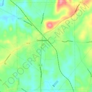
Name: Goodwater topographic map, elevation, terrain.
Location: Goodwater, Coosa County, Alabama, United States (33.03790 -86.06998 33.08390 -86.03356)
Average elevation: 827 ft
Minimum elevation: 699 ft
Maximum elevation: 1,060 ft
Alabama trails, hiking, mountain biking, running and outdoor activities