
Union Hills topographic map
Interactive map
Click on the map to display elevation.
About this map
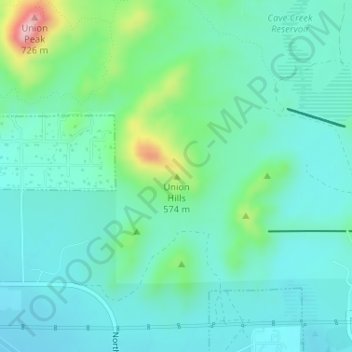
Name: Union Hills topographic map, elevation, terrain.
Average elevation: 1,660 ft
Minimum elevation: 1,509 ft
Maximum elevation: 2,221 ft
Maricopa County trails, hiking, mountain biking, running and outdoor activities
Other topographic maps
Click on a map to view its topography, its elevation and its terrain.
Cave Creek Park - Thunderbird
United States > Arizona > Maricopa County > Phoenix
Average elevation: 1,316 ft
Desert Botanical Garden
United States > Arizona > Maricopa County > Phoenix
Average elevation: 1,276 ft