
Owosso Township topographic map
Interactive map
Click on the map to display elevation.
About this map
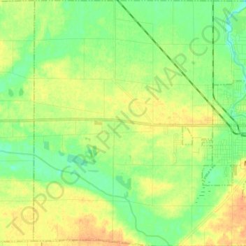
Name: Owosso Township topographic map, elevation, terrain.
Location: Owosso Township, Shiawassee County, Michigan, United States (42.95405 -84.28465 43.04259 -84.16702)
Average elevation: 758 ft
Minimum elevation: 709 ft
Maximum elevation: 817 ft
Shiawassee County trails, hiking, mountain biking, running and outdoor activities
Other topographic maps
Click on a map to view its topography, its elevation and its terrain.