
Hilarita topographic map
Interactive map
Click on the map to display elevation.
About this map
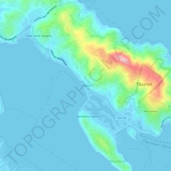
Name: Hilarita topographic map, elevation, terrain.
Average elevation: 89 ft
Minimum elevation: -13 ft
Maximum elevation: 676 ft
Marin County trails, hiking, mountain biking, running and outdoor activities
Other topographic maps
Click on a map to view its topography, its elevation and its terrain.
Old Saint Hilary's Open Space Preserve
United States > California > Marin County > Tiburon > Hill Haven
Average elevation: 138 ft