
White Hall topographic map
Interactive map
Click on the map to display elevation.
About this map
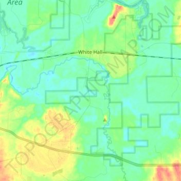
Name: White Hall topographic map, elevation, terrain.
Location: White Hall, Lowndes County, Alabama, United States (32.25303 -86.75078 32.35699 -86.67795)
Average elevation: 161 ft
Minimum elevation: 112 ft
Maximum elevation: 289 ft
Lowndes County trails, hiking, mountain biking, running and outdoor activities
Other topographic maps
Click on a map to view its topography, its elevation and its terrain.