
Goldfield topographic map
Interactive map
Click on the map to display elevation.
About this map
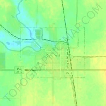
Name: Goldfield topographic map, elevation, terrain.
Location: Goldfield, Wright County, Iowa, United States (42.72929 -93.93187 42.74253 -93.90944)
Average elevation: 1,125 ft
Minimum elevation: 1,086 ft
Maximum elevation: 1,155 ft
Wright County trails, hiking, mountain biking, running and outdoor activities