
Council topographic map
Interactive map
Click on the map to display elevation.
About this map
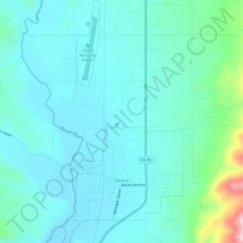
Name: Council topographic map, elevation, terrain.
Location: Council, Adams County, Idaho, 83612, United States (44.72005 -116.45154 44.75796 -116.42475)
Average elevation: 3,041 ft
Minimum elevation: 2,877 ft
Maximum elevation: 3,904 ft
Adams County trails, hiking, mountain biking, running and outdoor activities
Other topographic maps
Click on a map to view its topography, its elevation and its terrain.