
Healdsburg topographic map
Interactive map
Click on the map to display elevation.
About this map
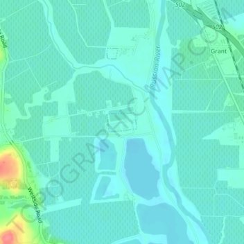
Name: Healdsburg topographic map, elevation, terrain.
Location: Healdsburg, Sonoma County, California, United States (38.58190 -122.86572 38.58397 -122.86151)
Average elevation: 92 ft
Minimum elevation: 49 ft
Maximum elevation: 295 ft
California trails, hiking, mountain biking, running and outdoor activities